The problem
Emergencies can happen anywhere and at any time. In the last five years WA has had some of its largest natural disasters on record.
Purpose
Provide a collaborative platform to visualise and understand what is at risk within a location and potential impacts of a hazard. Ultimately enabling us to better plan for, prepare, and recover from emergencies.
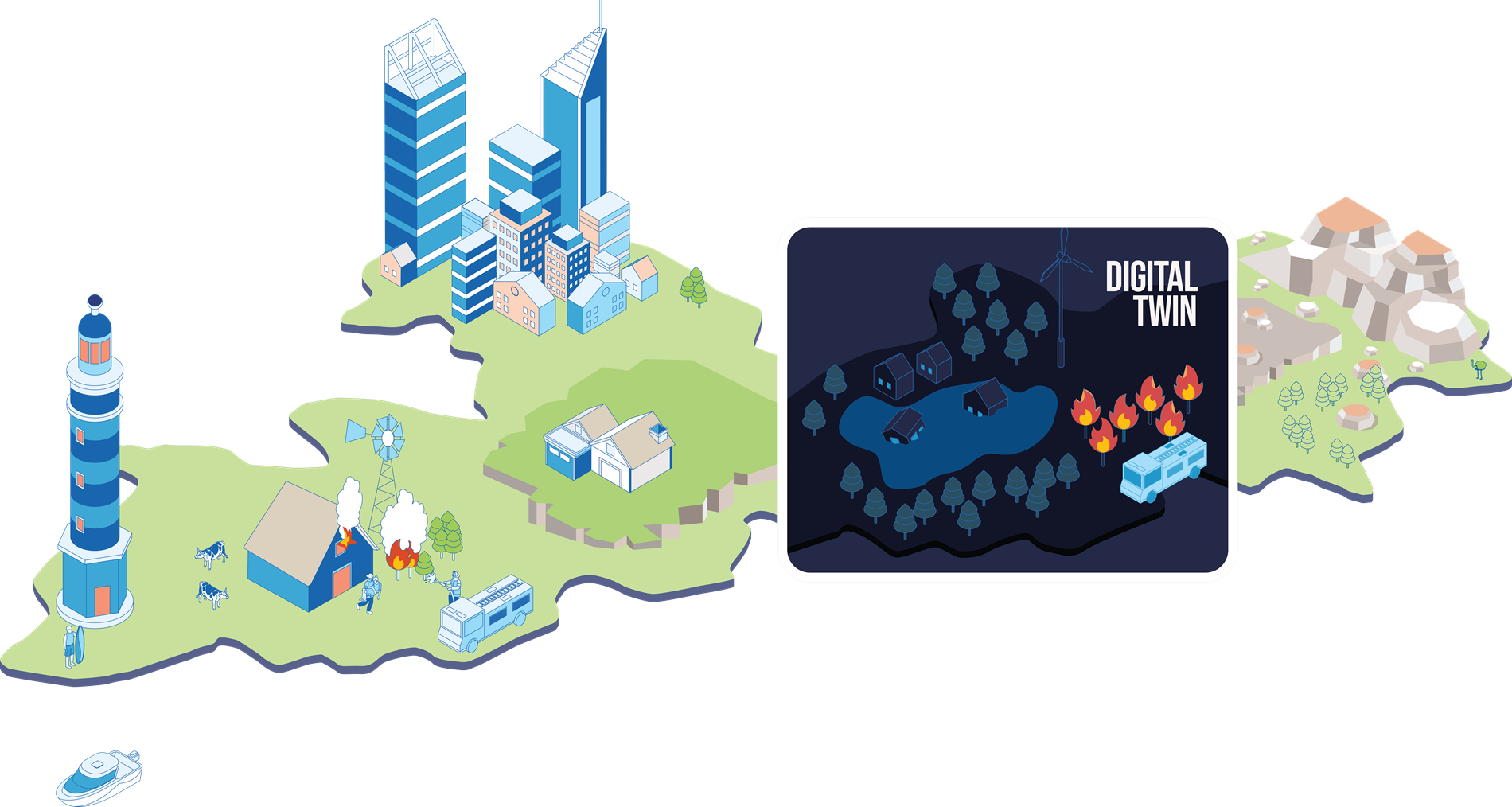
Spatial WA will…
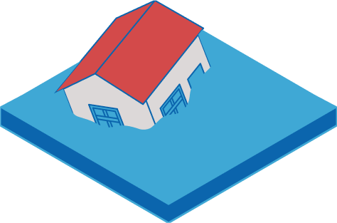
Provide a common view of the built, natural and social environment to understand what is at risk.
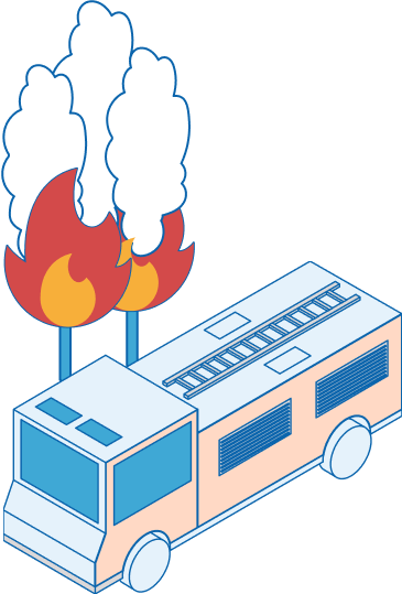
Provide a tool to assist scenario modelling for training simulations.

Provide a central place for Government agencies to access and share information.
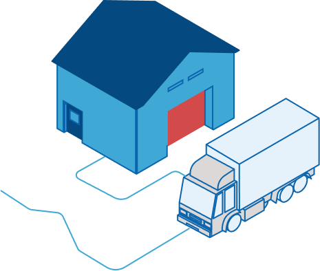
Critical services such as food, power, water and connectivity are essential in any emergency.
By better understanding the impact on communities, we can tailor support efforts and better allocate funding.
Through modelling of events, we can better understand and plan how we respond in the future.


